BUILT FOR YOUR DAYS OUT THERE
More mountain.
More peace
of mind.
Know the terrain. Stay close to your people.
A little more confidence, wherever the day takes you.
SOS & Offline Maps / In development
LESS GUESSWORK. MORE AWARENESS.
A clearer picture
of your day.
From checking the terrain before you leave to keeping track of the people you came with.
The signal ends.
Your map doesn’t.
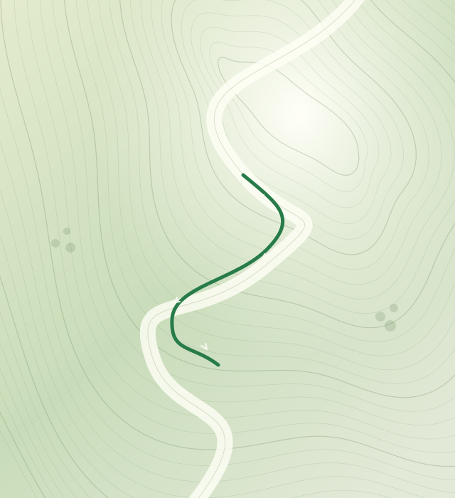
Save an area before heading out. See terrain, paths and your recorded track, even when a connection is out of reach.
- Save maps for offline viewing
- Understand terrain with contours
- Follow your own activity track
Download maps while connected. Offline coverage depends on the areas you have saved.
Different turns.
The same team.
Create a private group and invite your people with a QR code. See shared locations and recognize companions by their outfit colors.
- Share locations during an activity
- See when a location was last updated
- Choose whether to share your last track when offline
Live updates need a connection. A last known position is not a live position.
When you need help,
share the essentials.
Send an SOS with your location and recent track to your group and eligible nearby participants, so they have context to respond.
- Ask for help manually
- Share location and recent movement
- Let recipients confirm whether they can go
SOS needs connectivity and available recipients. It does not contact emergency services automatically.
THE NEXT PART OF THE JOURNEY
Better awareness.
Before you need help.
We’re also developing community safety maps and automatic distress detection to help make important information easier to notice.
Community risk & signal information
Automatic distress alerts
Risk reminders & watch support
These features are not yet generally available. Detection and background behavior still need real-world validation.
GOOD TO KNOW
Before you
head out.
Can I use SkiSafe without a signal?
Previously downloaded maps and local activity tracks can help you navigate offline. Sending an SOS, receiving new information and sharing live locations require a connection. Prepare your maps before leaving coverage.
Who can see my location?
The group-sharing design lets members of your private groups see eligible activity locations. Sharing your last track after 30 minutes without updates is a separate choice for each group. Sending an SOS shares relevant location and recent-track information with its recipients.
Nearby participants cannot simply browse everyone’s live locations. The app’s privacy information should be reviewed with the version you install.
Does an SOS call ski patrol?
No. SkiSafe’s SOS is a request to participating people, not a direct connection to ski patrol or emergency services. Delivery and assistance are not guaranteed. Contact local emergency services directly when needed and possible.
Is SkiSafe available on my phone?
Android is currently in development and device testing. An early iPhone version is in internal TestFlight testing, with maps and local activity tracking; groups, SOS and offline downloads have not yet been ported to iPhone. Public download links will appear here when available.
Does this website collect my location?
This website does not request your location or include analytics, advertising trackers or sign-up forms. It uses Cloudflare to serve its files; the hosting provider processes technical connection information to deliver and protect the website. This is separate from location and activity data used by the SkiSafe app.
See you
on the mountain.
SkiSafe is taking shape.
Public downloads aren’t open just yet.